
The Province of Northern Samar is located at the northernmost part of the island of Samar in the Eastern Visayas region. Its strategic position places the province along major sea lanes that connect Luzon, Visayas, and Mindanao.
Location and Boundaries
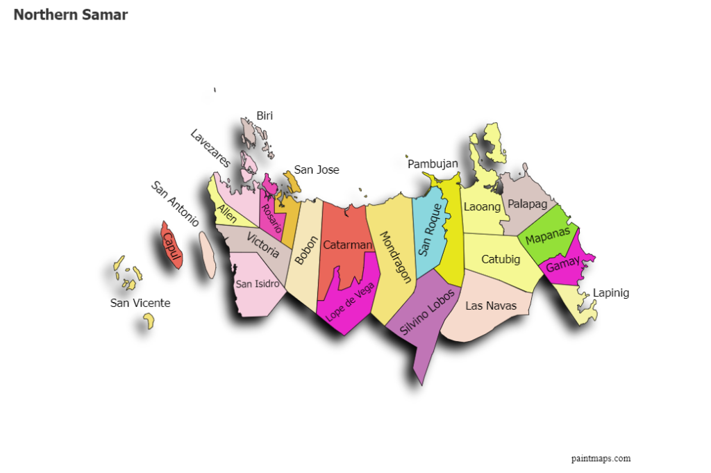
Northern Samar is bounded by:
- North: Luzon Strait
- East: Pacific Ocean
- West: Samar Sea
- South: Samar Province
This geographic setting gives the province extensive coastal areas and access to rich marine resources.
Land Area and Administrative Divisions
The province consists of several municipalities and one city, with Catarman serving as the provincial capital. Communities are a mix of coastal, lowland, upland, and island barangays, creating diverse settlement and land-use patterns.
Physical Features
Northern Samar’s terrain includes:
- Coastal plains and fishing villages
- Rolling hills and upland agricultural areas
- Forested and watershed zones
- Rivers, mangrove areas, and estuaries
Its long coastline supports fisheries, tourism, and coastal livelihoods, while inland areas are suited for agriculture and agro-forestry.
Accessibility
The province is accessible through:
- Seaports connecting to Luzon and neighboring provinces
- Road networks linking municipalities to the provincial capital
- Nearby airports in adjacent provinces
Development Significance
The geographic layout of Northern Samar provides strong potential for:
- Agriculture and agribusiness
- Fisheries and aquaculture
- Eco-tourism and coastal tourism
- Trade, logistics, and inter-island commerce
Its location and natural features play a vital role in shaping the province’s economic activities and development strategies under PEDIPO.